Grant Bay is located on the West Coast of Vancouver Island, just North of Quatsino Sound.
Today the area is within the territory of the Quatsino First Nation. In early contact times ethnographers report shifting tribal boundaries in the area. Around the year 1750, Grant Bay was reportedly within the territory of the Giopino tribe, but by 1880 it was the territory of the Quatsino.
Oral history reports great fighting within the area during this period, with entire tribes being killed as a result of inter-tribal warfare. Few Giopino survived, which may be one of the reasons there is not more information available about this area in pre-contact times.
In the 1850s, charts and maps of Vancouver Island had not yet identified Quatsino Sound, although it is included on maps after the 1870s.
It’s not clear where Grant Bay got its name. John Marshall Grant, a Royal Engineer, and Gordon Fraser Grant, Chief engineer on the CGS Quadra, were both in B.C. in the mid-1850s and are two possibilities.
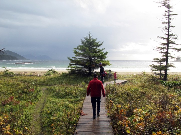
From pre-contact times, the peninsula between Browning Inlet and Grant Bay at contact was passable via trails used first by the First Nations and later by settlers. The trail originally went to a small beach southwest of Grant Bay called Tsegwas, or “place of the trail.”
In the 1800s, shelter shacks were constructed at various points along the West Coast of Vancouver Island, to provide food supplies and shelter for shipwrecked sailors. One of these shacks was located at Lippy Point on the Southwest tip of Grant Bay. The shack is referenced on navigational charts of the area produced in 1865 and again in 1919, but there is no longer any trace of it in that location. In the early thirties another shelter shack was moved to the eastern edge of the beach at Grant Bay, and this shack is also no longer in existence.
It has been reported there are some unique rock formations to the west of the bay, including a large rock arch and pillar of rock reportedly named Nomas — “Old man in a dangerous place.”
There have been no attempts to settle permanently in Grant Bay. In the 1930s residents of Winter Harbour would come overland to picnic on the beach. It was also reported that in the early 1930s a dead whale washed up on the beach and rotted there over the summer.
In the 1950s locals reported going to Grant Bay and lining up glass balls on beach logs to shoot them for some entertainment.
The freshwater river runs out on the North side of the bay. It is filled with logs, which may have been deposited there during either a severe storm or tsunami many years ago.
Until recently there were still some remains of a small cabin by the creek on the northwest corner of the bay. The cabin was constructed in 1968 by Frank Richardson, an ornithologist from the University of Washington on sabbatical. He and his wife stayed at Grant Bay over the winter. After the Richardsons left another young man squatted in the cabin for two summers.
Until about ten years ago Grant Bay was only accessible via a three-hour hike. Now, well-marked forestry roads make it accessible via a 15-minute hike and it is enjoyed by campers, picnickers, and surfers. There are a number of culturally modified trees on the left hand side of the road on the way in which are easily accessible.