Not knowing exactly what a tsunami would do to the North Island keeps Shaun Koopman up at night.
Is the 20-metre water-rise in 20 minutes rule of thumb good enough? Do surfers at Raft Cove know the warning signs? How will people in Winter Harbour be warned about an incoming wave? Some inlets around the world have been known to amplify tsunamis, while others dissipate the waves. Which will it be in the Holberg Inlet or Quatsino Sound?
There are too many unknowns for an effective emergency management plan, which is why last year a group of First Nations, regional planners, and a philanthropist decided to do a full study.
They’re partway through the project, and are currently asking for all the community input they can get. Koopman, an emergency planner for the Strathcona Regional District, is surveying residents and visitors to the northwest coast. He’s asking what they do or don’t know about tsunami preparedness. Do they even know tsunamis are a risk?
“You cannot go around Tofino and not be aware of the tsunami risk,” he said, referring to their glut of signage. “Whereas, compare that to Grant Bay. If there was a tsunami from Alaska, how would you know if that tsunami was coming? Your phone doesn’t work out there, there are no maps, we don’t know how high to tell people to go.”
The most expensive aspect is the lidar modeling that will help predict where the water will go. Last year, planes flew overhead, beaming lasers down to the raggedy coast, while catamarans carefully edged in and out of every nook and cranny.
The data collected is being fed to a super computer to develop a spacial model to predict what a tsunami, whether from Alaska or Cascadia, will do.
Even that level of data, meticulous, detailed information about the shape of the coastline, is not enough. Koopman wants to incorporate local knowledge from the 1964 tsunami, and from First Nations who know of the tsunami in 1700. A documentary is being planned, along with a ‘waves of knowledge’ school program to teach students about tsunami mapping.
Fill out the survey online: https://srd.ca/projects/nwvi-tsunami-survey/, or request a mailed copy. The deadline is Feb. 26.
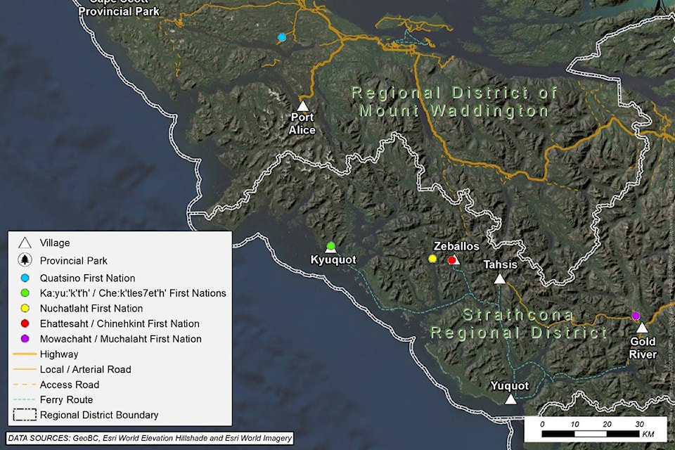
Initial funding from a provincial flood mapping grant was coordinated between the Strathcona Regional District and the Kyuquot/Checleseht First Nations and Nuchatlaht First Nation, whose territory is on the remote west coast.
Then a donor called Koopman and asked what he’d do with an other half a million dollars. The donor liked Koopman’s answer and sent the money, allowing for a second round of lidar mapping, which will start this spring to cover the rest of the northwest coast.
READ MORE: Vancouver Island First Nations, regional district to roll out tsunami mapping project
Do you have something to add to this story or something else we should report on? Email: zoe.ducklow@blackpress.ca