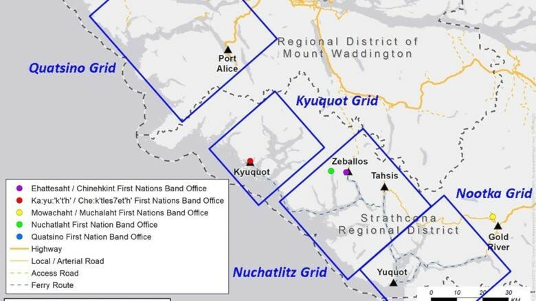
The first part of the Strathcona Regional District’s Northwest Vancouver Island Tsunami Mapping Project is complete, with new maps available for Kyuquot, Zeballos, Tahsis and the surrounding areas.
Now complete are tsunami amplitude and velocity maps for the coast from Yuquot to north of Port Alice, as well as detailed maps for 25 different areas near the Kyuquot, Zeballos and Tahsis.
“These maps present the anticipated effects of a tsunami at high tide with an additional free board (safety factor) to capture the most probable worst-case scenarios from the Cascadia Subduction Zone and Alaska Aleutian Subduction Zone” said Strathcona Regional District Chair Brad Unger. “The Regional District’s next steps will be to host in-person public engagement sessions later this month in the Kyuquot and Nuchatlitz grids to discuss and educate the public about the impact of these maps on land use planning, conceptual mitigation options and evacuation considerations.”
Phase two of the project is to develop high resolution maps for the southern part of the project (Yuquot area) and near Port Alice. Phase two will also include the installation of outdoor maps, the production of a short film sharing the Indigenous story of the 1700 Cascadia Tsunami, a web-based story map showing risk assessment data and educational modules for schools to use.
“We always knew that tsunamis are a devastating potential threat to our west coast communities, and we have been taking numerous life safety actions accordingly such as stocking sea-cans with essentials survival supplies and more, at these communities’ tsunami muster sites” said Shaun Koopman, SRD Protective Services Coordinator. “Now that we finally know the extent of the overland wave and we truly understand the risk, a number of informed and meaningful community conversations can begin.”
The second phase will be funded by a private donor and will begin in spring 2022.
To learn more about the project and view the phase one maps, visit www.srd.ca/tsunami-mapping.
RELATED: Tsunami awareness survey for northwest Vancouver Island underway
SRD wants input on tsunami planning
marc.kitteringham@campbellrivermirror.com
Like us on Facebook and follow us on Twitter