PORT HARDY – Modern mining exploration geologists put many kilometres on their boots walking back and forth between computers before they start climbing over rocks in the field. Their computers chew through data at a furious rate sifting, sorting and trying to find high value targets on which to stake their claim.
Mining exploration on the North Island got a helping hand from three organizations who coordinated the release of two data packages and a poster session on a third package at the Vancouver Island Geoscience Data Release Event, hosted by the District of Port Hardy and organized by Geoscience BC Feb 16.
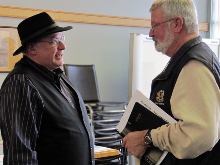
It's the kind of data used by people like Dan Berkshire of Compliance Energy Corporation, who was in attendance.
"I'll be spending $925,000 of the company's $1.2 million drilling budget near Port Alice this summer," said Berkshire. "It's good economic news for the region."
The event featured the first of a series geoscience maps, a re-analysis of 3,000 moss-trapped stream samples, and the announcement of a compilation of multi-sourced previous mining related activities and sites on Vancouver Island in the form of a searchable database.
Geoscience BC President and CEO C.D. ('Lyn) Anglin introduced the three presenters and said that a previous event in the Okanagan had spurred exploration there.
The raw numbers on the North Island since the Feb. 16 event indicate that in the fifteen days prior to the data release 21 claims were staked on all of Vancouver Island and eight of those were on the North Island. In the four days following the data release 61 claims were staked on Vancouver Island and 32 of those were on the North Island.
Raw numbers, however, need to be treated with a great deal of caution, Anglin said.
"We think these are significant increases," she said. "We expect that there may be more claims staked over the next few weeks as people look more closely at the data."
The first of the three items released was a 1:50,000 scale map of the Holberg - Winter Harbour Area by Graham Nixon of the BC Geological Survey. The map is the first in a series of five new 1:50,000-scale maps of Northern Vancouver Island describing the geology, geochronology, lithogeochemistry and metamorphism of the area.
Nixon said there are significant areas of interest within a well-mineralized band of Middle Jurassic rock north of the Holberg Fault. The Island Copper mine was developed in the same band of rock. He points to the most prospective areas for deposits similar to Knob Hill and Red Dog being Middle Jurassic intrusions through the Nimpkish Lake area further south beyond the borders of the current map.
Nixon also points to some surprisingly young granitic intrusions associated with numerous small mineral showings. The Klaskish body is associated with copper-molybdenum deposits in the style of that at the Island Copper mine.
Wayne Jackaman of Noble Exploration Services discussed the second release, a re-analysis of over 3,000 archived moss-trapped stream sediment samples originally collected in 1988 and 1989 covering over 90 per cent of Vancouver Island. The samples were analyzed using a more up-to-date ICPMS for 51 elements including base and precious metals, and rare earth elements. The samples have also been analyzed for platinum and palladium by fire assay and Jackaman said there are some very interesting platinum and paladium values pointing to previously un-staked areas of the North Island.
The Northern Vancouver Island Compilation Project being developed for Geoscience BC by David McLelland of Auricle Geospaital Science Inc. and Jacques Houle of Mineral Exploration Consulting was the third item on display. The poster session described a compilation project that brings together all that is known about previous mining related activities on Vancouver Island into a searchable database making it simpler for mining exploration teams to determine what previous work has gone on in an area of interest.
McLelland said that the database tells a mining company looking into a specific area "what's been done here before."
"When you use the three tools together you have a lot of information that makes it easier for mining companies to get a picture of the potential of a given area before committing to the expense of exploring a site, said McLelland.
"Exploration money follows the path of least resistance," he said.