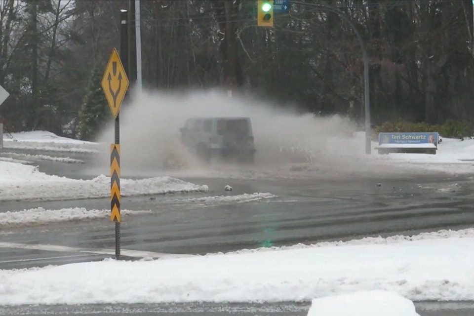
Most of Vancouver Island is under a flood watch after the most recent winter storm.
The River Forecast Centre announced on Saturday, Dec. 24 that south, west, east and central Vancouver Island, as well as Englishman River, are under a flood watch. North Vancouver Island, meanwhile, is still under a high streamflow advisory.
A high streamflow advisory means that river levels are rising or expected to rise rapidly, but no major flooding is expected. A flood watch means that river levels are rising and will approach or may exceed bankfull. Flooding of areas adjacent to affected rivers may occur.
READ MORE: Storms, extreme weather shut down power and strand holiday travel across Canada
According to the River Forecast Centre, a “significant” rainfall pattern is moving across the southern coast of B.C. Rainfall amounts in the 15-45 mm range for south and east Vancouver Island and in the 60-100 mm range for central and west Vancouver Island have been observed over the past 24 hours. Snowmelt is also occurring at lower elevations, which is causing pooling and flooding in areas with poor drainage or where drainage structures are impacted with snow and ice.
River levels have started to experience accelerated rising in most areas, and in particular in areas of south Vancouver Island and west Vancouver Island. Continued heavy rain is anticipated through Saturday, with rainfall warnings from Environment and Climate Change Canada in effect.
Rising streamflow is expected through Saturday and in areas overnight to Sunday. Additional rainfall on Sunday through Tuesday may lead to ongoing high flows and persistent flood hazards into next week.
